Space governance you can step inside.
Read the launch brief →howdy [at] diplospace · orgSupport the work →
Each explainer turns one contested space-governance reality (a lunar split, a treaty stress point, a spectrum fight) into something a non-specialist official can navigate. Neutral, plain-language, every claim tied to a primary source.
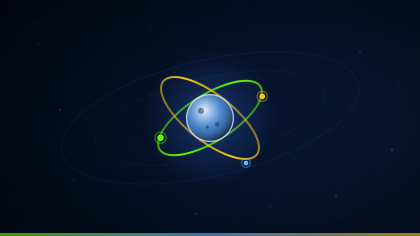
Seventy countries, as of July 2026, have signed the United States-led rulebook for the Moon. A China and Russia-led bloc, the ILRS, is writing a different one for the same ground. Both quote the 1967 Outer Space Treaty back at each other, which tells you how precisely that treaty was written. Here is who signed what, and exactly where the two texts part company.
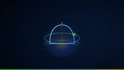
A January 2025 executive order would put missile-defense interceptors in orbit. The legal regime up there bans weapons of mass destruction and says very little about the defensive kind, which is the whole argument in one sentence. A primary-sourced map of the rules it touches, with supporters and critics each making their own case.
No nation may own the Moon. May a company keep the ice it digs out of it? The 1967 Outer Space Treaty does not say. Four national laws and the Artemis Accords read that silence as a yes, the common-heritage tradition reads it as a no, and the UN has not finished reading. All sides, no position.
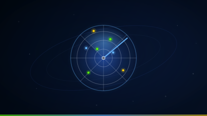
Tens of thousands of objects are up there, and somebody has to notice when two of them are about to want the same piece of sky. Who runs that warning service, and how much data anyone is willing to hand over, is unsettled. The instruments that do the watching, and every side of the argument.
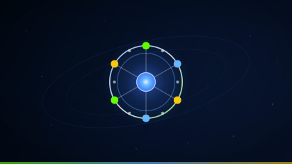
Space has a committee. It has 110 members, it moves only by consensus, and it produced every space treaty now in force. Whether a body that needs everyone to agree can keep pace with today's commercial and security activity in orbit is the open question. How the thing actually works, and what it has and has not managed since 1967.
The grid, the markets, and the approach path to a runway all set their watches by satellites. Interference with that signal has gone from curiosity to routine. Ten minutes, eleven sources.
Two mature fields that, in our review, have never been introduced to each other: the psychology of isolated, confined places, and what service far from home does to a family. Military and Foreign Service families may be the long-duration-habitation analog the research has overlooked. The gap is the contribution.
The thesis, made vivid: when a Moon base needs a school before it needs a flag, who already knows how to live like that? A 3D notional site and the precedent that already exists.
Next, on the same standard: the Outer Space Treaty's stress points (where a 1967 text meets 2026 facts) and the geography of an ITU spectrum fight. We publish an explainer when it's fully sourced, not before.
The signal-geography work sits on applied-research Field Notes: the version with the derivations, the figures, and the complete source list. Free, citable, and typeset to print.
What a nation loses when its invisible utility goes dark: the economic dependence, the now-operational interference threat, and the backup the U.S. retired in 2010 while its competitors kept theirs. This edition adds two 2026 case studies (the Strait of Hormuz shipping disruption and the Denver, Colorado outage), the December 2025 Executive Order on space superiority and the live FCC PNT docket, and a four-lens (diplomatic, informational, military, economic) reading of the dependency, with questions officials can take into a room.
Why the bulk power system depends on a one-microsecond GPS timestamp, with the closed-form holdover math, the inverter-disturbance record, and what the capacity market is pricing. This edition adds the 2025 NERC demand-growth and PJM auction data, a four-lens (diplomatic, informational, military, economic) reading of the timing dependency, and questions for officials.
Why a fleck of paint moving at 25,000 km/h is a weapon, and why orbit is a shared resource filling faster than it drains. The tracked catalog (~45,670 objects) sits atop a modeled population of 1.2 million fragments over 1 cm and 140 million over 1 mm: the Kessler cascade that keeps growing for 200+ years even if launches stop. Includes a computed altitude map of the orbital “graveyard band,” the four landmark break-ups that define the risk (Fengyun-1C, Iridium–Cosmos, Cosmos 1408, Intelsat 33e), and where active debris removal stands. Every figure traced to a public primary source (ESA, CelesTrak, NASA ODPO, U.S. State Department), with a four-lens (diplomatic, informational, military, economic) reading and questions for officials.
There is no air-traffic control for space, only collision warnings no one is obliged to obey, and a map held by one country's military. With 15,900 working satellites (two of every three flown by a single operator), this note explains the U.S. civil TraCSS coordination system, the deliberate line between coordination and management, and why the busiest orbits are governed by a patchwork with no binding global authority. Includes the 2019 Aeolus–Starlink near-miss, the 144,000-maneuver coordination load, and what a binding “ICAO for space” could look like, with a four-lens reading and questions for officials.
Every explainer and Field Note is free, and always will be. If you want the new ones as they publish, leave your email. That is the only thing this list is for: never shared, and we never store your IP address.
These pieces are built to teach. Each explainer is a module: pair it with a scenario to rehearse the decision and a Field Note to go deep, and you have a self-contained unit for a classroom, a diplomatic academy, or a graduate course on space and international policy. Free to assign, citable, and aligned with UN SDG 4 (quality education).
An explainer turns one contested regime into something a non-specialist can navigate, with every claim tied to a primary source.
A scenario puts the class in the call itself: the clock, the trade-offs, and an after-action record to debrief.
See the scenarios →A Field Note carries the derivations, the figures, and the full source list, typeset to print and cite.
Teaching a course, or building a training module? Ask for a module guide. We’ll map the explainers, scenarios, and Field Notes to your syllabus.
Every claim traces to treaty text, a UN or agency document, or a named dataset. If we can't source it to the record, we don't print it.
We render the regime and every side's reading of it. We name no adversary we haven't sourced, and we take no policy position: the official decides, not us.
Each explainer ends with the documents it's built on, and load-bearing claims carry their attribution inline, so you can check it rather than trust it.
A human opens every primary source before anything ships: today the founder, with an external review bench in formation. Boundary-adjacent work waits.